Home /

Photogrammetry in the landscape

Photogrammetry is a method that enables us to create very detailed 3D models from still images.

If we wish to create a 3D model of an object, we can achieve this by taking a large number of high-resolution still images and then using software to merge these images into a 3D object.

This can be very useful from a historical point of view for enabling people to view and study objects without physically being there, yet still being able to view the object in high detail.

We have been learning to use this method for some time and have been testing out its capabilities within landscapes. Creating detailed models of features within the landscape can help us potentially spot things of historical importance.

We have created a simple video showing some of the potential uses of photogrammetry from a historical point of view. This video features farmstead ruins and a burial cairn.

All images were shot from a drone.
Haylie Brae Cemetery

The Haylie Brae Cemetery is a burial ground located in the town of Largs, North Ayrshire, Scotland.

The cemetery was opened in 1959 and is no longer available for new burials. It is believed that more than 12,000 burials have taken place within the cemetery.

The land is well maintained, and on our visit, the grass and foliage had been well cut, and the location looked to have been well looked after.

The cemetery contains a mix of headstones from older, very elaborate gravestones to more modern, simple stone designs. One stone, in particular, stands out as being very grand. This is the resting place of the former art collector Sir William Burrell.

His final resting place commands a high vantage point overlooking the cemetery. In our video, we take a walk around the cemetery and look at some of the more grand headstones we find along the way.

Garvochs Farm

Garvochs Farm is a ruinous former farm located in Greenock, Scotland.

The farm is located on the banks of Loch Thom and dates back to the early 1800s. The building forms a square “U” shaped structure, with the main central section being the home. The two opposing sections would have been byres or cowsheds.

The farm would have operated on land to the rear and also directly in front in an area that is now taken over by the Loch Thom reservoir. The construction of Loch Thom would have certainly affected the operation of the farm by reducing the amount of usable land.

It is believed the farm was still operational until the late 1980s, at which point it became abandoned. Since its abandonment, the building has rapidly deteriorated into the ruin we see today.

Lathallan House

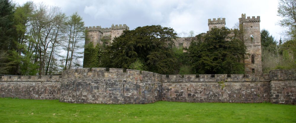
Lathallan House is a ruinous former mansion house located in Scotland.

The building was constructed in 1826. The house and its estate were originally known as Lawrence Park. It later became known as Lathallan House.

The building is now in very poor condition. It is a little more than a roofless shell. The structure is listed within the “Buildings at Risk Register” as High Risk. This means there is a very real risk of the building being lost in the future.

Within this video, we have a look around some of the grounds. We also venture inside the ruin to see what remains of this once grand mansion.