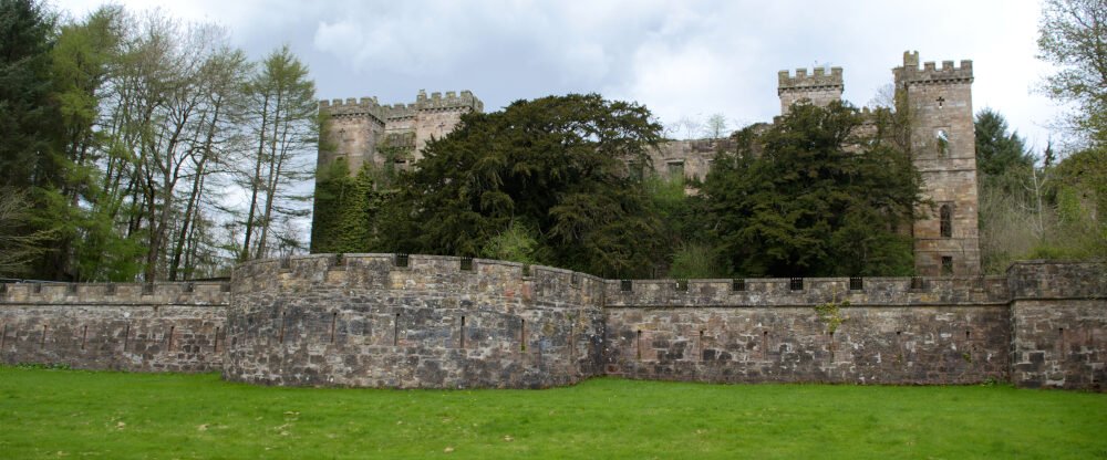
Photogrammetry in the landscape
Photogrammetry is a method that enables us to create very detailed 3D models from still images.
If we wish to create a 3D model of an object, we can achieve this by taking a large number of high-resolution still images and then using software to merge these images into a 3D object.
This can be very useful from a historical point of view for enabling people to view and study objects without physically being there, yet still being able to view the object in high detail.
We have been learning to use this method for some time and have been testing out its capabilities within landscapes. Creating detailed models of features within the landscape can help us potentially spot things of historical importance.
We have created a simple video showing some of the potential uses of photogrammetry from a historical point of view. This video features farmstead ruins and a burial cairn.
All images were shot from a drone.