The search for the lost mill
Old maps can be great resources for investigating the past. Now and then, we will discover an old building on such a map and visit the location to see if there is anything remaining.
This is one such example… We were browsing old maps provided by the National Library of Scotland and noticed an old mill located in an area of woodland. It looked like it would be an easy task to simply visit the site and determine if there were any physical remains of the structure. This proved to be false optimism.
Our first visit was in the summer of 2020. There were several possible routes to the mill site but none of them was passable. Old maps showed trails and paths all of which had long since been lost. We were also battling against vegetation, fences and stinging nettles. At each attempt, we ended up coming up against obstacles. The final idea was a more substantial pathway shown on the old maps. It was however blocked by hay bales. It would have been a simple task to climb over them, but then there is the risk of causing damage to the polythene packaging that the farmer has wrapped the bale in. Out of respect, we chose not to attempt to pass.
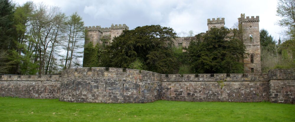
In 2021, we revisited the location, and this time, the hay bales had been removed, so we ventured into the woods. The path very quickly vanished, and it once again became a case of battling through the vegetation. We eventually managed to locate the mill. There are still substantial ruins on the site. We were even able to locate an Ordnance Survey Benchmark engraving on the side of the building. This corresponded with the one we had previously noticed on the map.
All in all, there was not a lot to see, but it was still very interesting to be able to witness a piece of history that had not only been lost to the woods but also lost in time.